|
NH - Welch Dickey Loop - Hiking Trail
|
Category:
 |
Overall Rating |
|
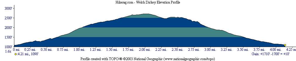
| Elevation |
Fun |
Fear |
Scenery |
Terrain |
| 1700 ft |
3 |
3 |
3.5 |
rock / trail |
2.9 |
|
|
|
|
|
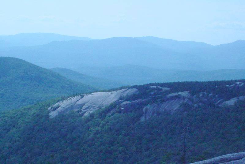
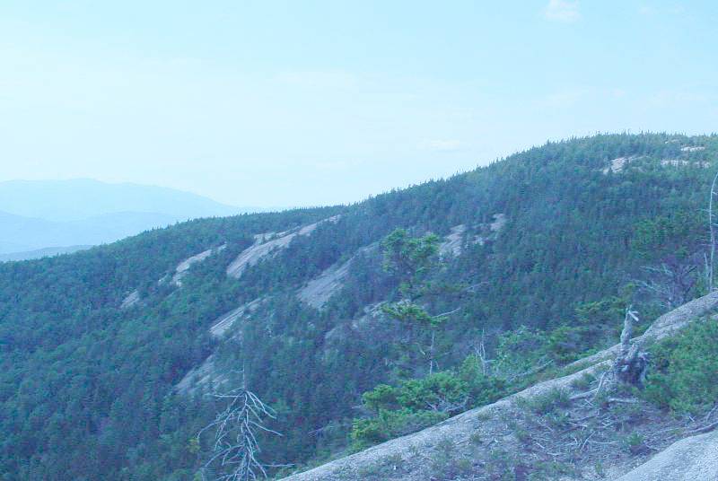
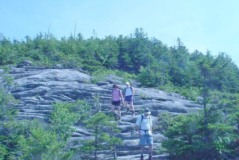
Nice slickrock - No bikes though!!
|
|
|
|
|

|
|
Super Moas - To the rescue
|
|
|
|
| Directions- Take 93 north to campton, exit 28,
rte 49 east towards Waterville valley. 5.45 miles take left over stream, .64
miles take a right, .63 miles park - see map.. Description - Great
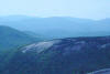
short hike, 1700 vertical, 4.2 mile loop over somewhat steep terrain.
Lots of nice slickrock, and incredible views..
Loops- |
|
Elevation Profile |
| Total Miles : 4.2 |
| Nearest Coffee, Sushi or other food: |
| Disclaimer: Caution - Use this map at your
own risk. Hikerag.com and affiliates will not accept
responsibility for an personal injury, property damage or trespassing while
using this map. Trail users shall obey all signs, and always obtain
permission from the land owner to use trails for any sporting activity.
Permission to use trails should not be assumed. This map simply
contains topographical information and trails that existed at one time.
Trails shown maybe be missing, not accurate, closed, overgrown etc.... |
 |

