|
|
|
|
| Topo Trail Map | Map Legend |


|
OR - Syncline - Mountain Bike Trail Review with Map and Pictures Reviewed By NB & HLM |
|||||||||||||||||||||||||||||||||||||||||||||||||||||||||||||||||||||||||||||
Directions - From downtown Hood River,
take State St to Highway 35 North. Cross over the Columbia River Gorge into
Washington state via the toll bridge. Turn right onto Hwy. 14. About 4 miles
after town of Bingen, take left onto Courtney Rd. Park immediately on left
in the lot. |
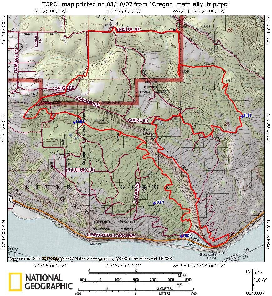
Description - Spider web of hard packed buff singletrack that spreads across a ridge overlooking the Columbia River. The trails are tight, fast, twisty and fun if ridden fast. Only a very small section of rocky terrain. There is one trail that descends right along the edge of the cliff. Unfortunately, a local rider fell to his death in May, so be very careful near the edge. Loops - There is no map of the area as it is on private land so you have to “wing it”. We got lost for awhile so can’t describe the loop we did. Start by riding thru the gate across from the parking lot onto an old paved road. An immediate singletrack on the left is a beautiful long arse climb, but at the end is where we got lost. The recommended way is to follow the paved road to a jeep trail that climbs up to the top of the ridge where all the singletrack begins. All the trails eventually do go to the bottom. What out for the poison oak- there is a ton of it. Also the biggest and tastiest blackberries ever!!!! Pre-ride Music: |
Total Miles: |
Elevation Change Feet - |
|
Disclaimer: Caution - Use this map at your
own risk. Bikerag.com and affiliates will not accept
responsibility for an personal injury, property damage or trespassing while
using this map. Trail users shall obey all signs, and always obtain
permission from the land owner to use trails for any sporting activity.
Permission to use trails should not be assumed. This map simply
contains topographical information and trails that existed at one time.
Trails shown maybe be missing, not accurate, closed, overgrown etc.... |
To
view larger version of map, right click on map and select View Image. |
| ||||||||||||||||||||||||||||||||||||||||||||||||||||||||||||||||||||||