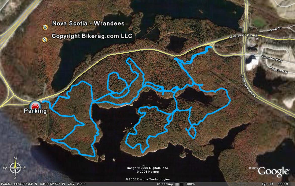
| Directions - OK - Take 102 south toward halifax,
to 103 west, get off first exit, and somehow get on route 3 east, you may
have to do a u-turn.. At 3 and 333 intersection go left and
follow 3, parking lot is on right after you cross power lines..
Trailhead is right there on the other side of the stream.. Watch out
for doggy poop.. Description - Gonzo tech singletrack, roots, rocks, slickrock, stunts.. This may be the most
technical ride I have ever encountered.. Its full on expert, not for
the timid, beginners will walk most of the time.. I cant say
enough good things about this place, only downer is the roots and apparent
over-use, but the deeper you get the fresher the trails are..
Slickrock sections, wicked cool technnical stuff everywhere.. We did 6 miles
in 4 hours.. Crazy trail names.. Get randy Grays trail map from the
local bike shops, it has all the trails with the names!!! You can
easily ride her for a couple days and not be bored, but give the trails a
break and check out some other local and not so local spots too.. This
place beat the crap out of me, in a good way.. Its alot like middlesex
in CT, but 100 times more in your face technical gonzo..
|
| Disclaimer: Caution - Use this map at your
own risk. Bikerag.com and affiliates will not accept
responsibility for an personal injury, property damage or trespassing while
using this map. Trail users shall obey all signs, and always obtain
permission from the land owner to use trails for any sporting activity.
Permission to use trails should not be assumed. This map simply
contains topographical information and trails that existed at one time.
Trails shown maybe be missing, not accurate, closed, overgrown etc.... |