|
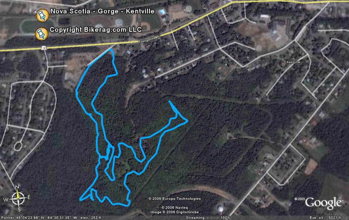
Nova Scotia - The Gorge - (Kentville) - Mountain Bike Trail Review with Map and Pictures |
||||||||||||||||||||||||||||||||||||||||||||||||||||||||||||||||||||||||||||||
Directions - Take 101 to kentville - exit 13 -
Downtown, Go west on main, then you have to take a right, and immediate left
on webster because main is one way, you pass a bike shop on your right, stop
by, talk shop, then head back on webster to west one main, Bear left on park
street, after you pass baseball fields on right take a left (there is some
medical building on right - where your ride may end up), go up hill, past
condo, park at top.. |
Description - Some off camber single track, some 1.5 track, roots some rocks, some whoops.. Stunts are in one central location to play on.. Cool stuff, log rides, jumps, hucks, rollers, some high stuff, thats 6' plus, skinny's.. One good thing was the range of ability levels of the constructed ramps, I even rode a few!!! Overall, the race course loop was short but I hear there is TONS of singletrack, some of which may be abandoned.. Next time I head back, Ill beg a tour from Brian Adams so he can show us the goods.. Pre-ride Music: |
Total Miles: |
Elevation Change Feet - Elevation
Profile |
|
Disclaimer: Caution - Use this map at your
own risk. Bikerag.com and affiliates will not accept
responsibility for an personal injury, property damage or trespassing while
using this map. Trail users shall obey all signs, and always obtain
permission from the land owner to use trails for any sporting activity.
Permission to use trails should not be assumed. This map simply
contains topographical information and trails that existed at one time.
Trails shown maybe be missing, not accurate, closed, overgrown etc.... |
To
view larger version of map, right click on map and select View Image. |
|
| ||||||||||||||||||||||||||||||||||||||||||||||||||||||||||||||||||||||


