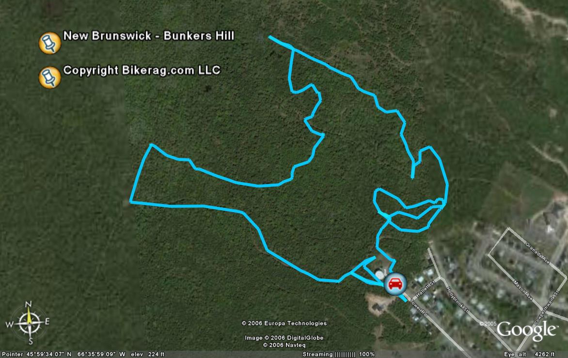
| Directions - From Fredericton, cross the Saint
John river on westmorland street bridge, take a right on union street, look
for left on Gibson, take that left, turns into canada street, left on
holybrook road after you pass marysville baptist church (note this might be
the second or 3rd church you pass!!!!), left on hallet, right on power road,
see water tower, gate, park there, trailhead is on your right, or left.. Description - Some
really tight and sometimes technical single track.. Many ziggle zaggle
trails, it was technical, but to me, not technical good.. Just tight,
not fun tight like your first time under the covers, but nuisance tight,
like sitting in a crowded airplane between 2 fatties, who keep raising a
cheek.. Trails did not seem.... Very.... Ridden.. Someone
did put a lot of work into them, the trees are so freakin dense bushwacking
would not be possible, as a matter a fact, I think small animals would have
trouble scurrying.. 2 words, skip it..
|
| Disclaimer: Caution - Use this map at your
own risk. Bikerag.com and affiliates will not accept
responsibility for an personal injury, property damage or trespassing while
using this map. Trail users shall obey all signs, and always obtain
permission from the land owner to use trails for any sporting activity.
Permission to use trails should not be assumed. This map simply
contains topographical information and trails that existed at one time.
Trails shown maybe be missing, not accurate, closed, overgrown etc.... |