|
|
|
|
| Topo Map of Area | Map Legend | Bikerag Pics |


|
|
|
|
| Topo Map of Area | Map Legend | Bikerag Pics |
|
MA - Otis - Cape Cod - Mountain Bike Trail Review with Map and Pictures |
||||||||||||||||||||||||||||||||||||||||||||||||||||||||||||||||||||||||
 |
||||||||||||||||||||||||||||||||||||||||||||||||||||||||||||||||||||||||
|
2013 Update OTIS trails are officially off limits to Mountain biking according to a letter I just received by the JBCC executive director. It would be nice to see a property map, but they assure me that most of the trails are on JBCC property. You may be arrested if your found on JBCC property so I suggest you stay clear until further notice. It would make good sense to me that they add no trespassing signs to their property, not sure if that has been done.
2009 Update (Thanks Robin!) - Most of the trails at OTIS are open. The trails on the military base are closed. Thanks for the clarification Robin! 2005 updated - Couple new trails in the area, some new tech lines. Fun stuff.. Unfortunately some trails have widened due to assumedly atv traffic.. Not sure if there allowed in there or not.. Directions - From the mainland take 495 south over the Bourne Identity bridge. Drive around the rotary as many times as you like, then take route 28 south towards falmouth. Clear your odo.. Drive 7.21 miles (youll go through one more lovely rotary), and take the exit for route 151.. take a RIGHT on 151 east bound, drive .2345 miles, and look for small sandy parking area on LEFT.. I hear you dont want to leave valuables in your car here.. Strange.. 2 trails start immediately after mound..
Description - Lots and lots of swoopy, rolling, winding single track with little gem rock gardens scattered through out.. Even some ladders here and there!! I assume the large "potholes" in the trail are exploded mines or something - great to puke in!! Rock gardens here are lots of fun - some even challenging.. I even found a GONZO steep boulder drop, but the runway was a little extreme - next time!! Ok this is next time - more ramps, One real nice see saw, and even more larger scale rock gardens. Pre-ride Music: Eurithmics - military man |
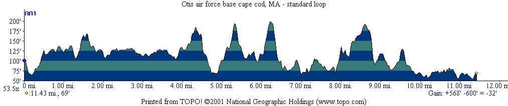
Total Miles: 22 miles and counting |
Elevation change - 600 ft - Elevation
Profile |
|
| |||||||||||||||||||||||||||||||||||||||||||||||||||||||||||||||||||


